
Phased plans for multi-million-pound development east of Biggleswade submitted
A flagship mixed-use development on 263 acres of land east of Biggleswade is set to be delivered in eight phases.
The scheme was a strategic allocation in the Central Bedfordshire Local Plan. It would provide up to 1,500 homes, employment uses, a primary school, community facilities and other infrastructure, close to King’s Reach.
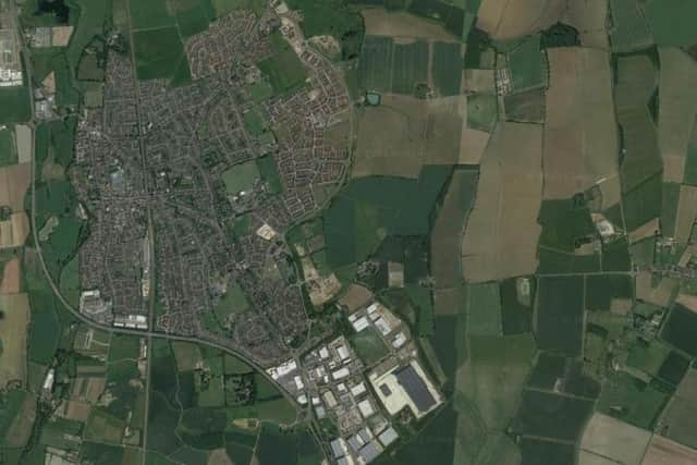

Outline plans for the area were approved by the local authority as far back as February 2019, along with an environmental impact assessment.
Applicant East Biggleswade Developments Limited has now submitted its reserved matters proposals to Central Bedfordshire Council. This includes the detailed design of the main access from Baden Powell Way, with landscaping, engineering and drainage works “to facilitate the phased delivery of the wider development”, said the application form.
Around 150 acres of green infrastructure, including open space, play areas and a country park is proposed, according to a planning statement on behalf of the applicant.
Matters such as layout, scale, appearance and landscaping, other than that related to the access works, are reserved for subsequent approval, explained Egniol Planning Limited.
“The purpose of this submission is to establish the principal access infrastructure to facilitate the delivery of the wider scheme.
“This ties in with the approved outline permission, associated parameter plans and the environmental statement. The site is mostly agricultural land, characterised by open fields, with Baden Powell Way to the west.
“Baden Powell Way is a key distributor route, which forms part of the wider highway network to serve Biggleswade and provides direct connections to the A1. A number of physical and environmental features influence the development framework.
“These include areas of functional floodplain along the western boundary, public rights of way, overhead electricity infrastructure, established vegetation and field boundaries, and localised areas of archaeological potential. A network of public rights of way offers connections to the wider countryside, such as Biggleswade Common and the Green Wheel.
“The access arrangements form part of the strategic infrastructure required to support the delivery of the wider development, and were assessed through the transport assessment submitted at outline stage. An updated transport statement provides further detail about these access plans.
“The proposals represent a necessary and logical first stage in the delivery of the approved development, and will enable the timely and coordinated implementation of subsequent phases.”
More information is available on the CBC website planning portal.