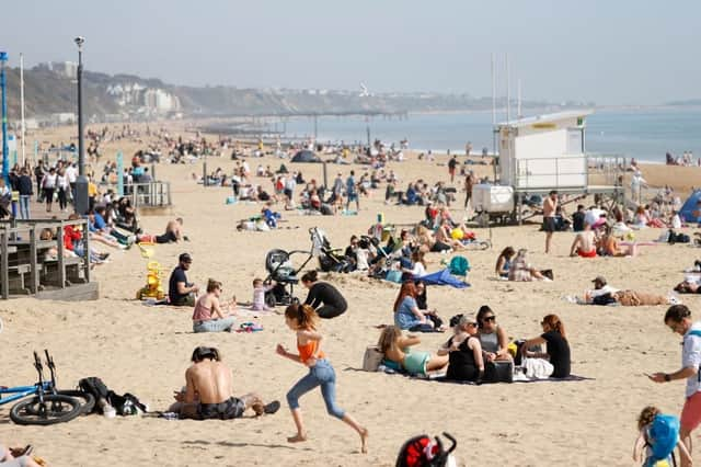
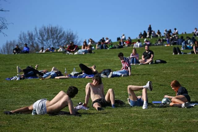
Record highs up to 25C forecast for Bank Holiday Monday as Brits flock to parks and beaches


Bank Holiday Monday is forecast to be the hottest day of the year so far, with temperatures expected to reach highs of 25C in some parts of the UK.
The continued hot weather follows two days of glorious sunshine over the long weekend, which has seen people flock to parks, beaches and pub gardens to soak up the sun.
Advertisement
Hide AdAdvertisement
Hide AdThe long-awaited warm spell comes after weeks of rain and chilly temperatures, prompting thousands to head outdoors to make the most of the much-needed warmth now that lockdown restrictions have mostly been lifted.
May has been the fourth wettest on record for the UK, and the wettest ever for Wales, after the last few weeks brought nothing but downpours.
Record high temperatures
The mercury is forecast to reach 25C (77F) on Monday (31 May), which would surpass the high for 2021 so far, which was set back on 30 March at Kew Gardens when the temperature reached 24.5C.
Temperatures are forecast to be at least in the low 20s for most of the UK today, even in northern Scotland.
Advertisement
Hide AdAdvertisement
Hide AdThe hot weather is not unusual for this time of the year, with the mercury usually reaching the high teens and low 20s by late May.
The Met Office has warned people to apply plenty of sun cream before heading outside as UV light levels will be high.
Becky Mitchell, a meteorologist from the Met Office, said: “The only exception is along the east coast. There is quite a lot of low cloud, mist and fog in east coastal areas and that will stay for the next few days, so highs of between 12C (53.6F) and 16C (60.8F) there – quite a lot lower than elsewhere.”
Temperatures are expected to climb even higher later in the week, reaching highs of 27C (80.6F) on Wednesday (2 June) before cooler, fresher air moves in, possibly giving way to thunderstorms by midweek.
Advertisement
Hide AdAdvertisement
Hide AdMs Mitchell added: “There will potentially be some thunderstorms by midweek, the first bout of showers will come into parts of the South West and there will be a few thunderstorms in that.
“There’s a chance of some thundery break down in the south east and we could have some quite intense storms there.
“There’s still a lot of uncertainty but with the warm and humid weather we are having we have the key ingredients for thunderstorms.”
“The warmer weather will stick around until at least Thursday in most places, that’s when we could get some slightly fresher air coming in.
Advertisement
Hide AdAdvertisement
Hide Ad“There are no strong signals for it to be the warmest June on record. Temperatures will come down a little by the end of next week, and it won’t be as warm from Thursday onwards, so there are no strong signals, although it is a bit early to tell.”


Forecast for the week
The warm weather will continue into Tuesday (1 June) bringing another dry day with plenty of sunshine for much of the UK, although it will be a little cloudier in eastern regions.
Another hot day is expected for many heading into Wednesday, although the Met Office is warning showers and thunderstorms are likely to develop in the south west.
Thursday will mostly be dry before further showers and thunderstorms break out on Friday, again mostly concentrated to the far east and south east regions.
Advertisement
Hide AdAdvertisement
Hide AdTemperatures will tend to stay close to the seasonal average, with the weather becoming more dry and settled heading into the weekend.
Ministers have urged people to exercise caution while enjoying the warm weather, amid concerns over the rising number of Indian coronavirus cases in some parts of the UK.