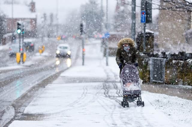
This is when and where snow will fall across the UK today


A yellow weather alert has been issued across the UK today (28 Feb), warning of snow, sleet and icy conditions.
The warning extends across much of Scotland and northern England, with some areas expected to see up to three cm of snow.
Advertisement
Hide AdAdvertisement
Hide AdSnow, sleet and hail
The snow warning has been issued by the Met Office across northerly parts of the UK today, with the yellow alert in place until 7pm, extending to areas including south west Scotland, the Lothians, North East and West England, East and West Midlands and Yorkshire.
The Met Office said: "A mix of rain, sleet and snow will affect northern England, for a time today. Snow could lead to some disruption for higher routes in the Pennines, Lake District and North York Moors, especially above 250 metres elevation.
"Here a slushy cover of 1-2 cm may accumulate, but with over 5 cm on routes above 450 metres. Snow will turn back to rain from the south by mid-afternoon.
"[In Scotland], a band of rain and hill snow will move northeastwards this afternoon, turning heavier for a time. This is likely to bring snow to lower levels before dying out this evening.
Advertisement
Hide AdAdvertisement
Hide Ad"1 to 3 cm of snow is likely to accumulate on roads above 200 metres elevation and 5 to 8 cm on roads above about 350 metres. There may be a temporary slushy cover for a short time at lower levels."
What areas are affected by the snow warning?
The following regions are affected by today’s yellow warning for snow:
East Midlands
DerbyshireNorth East EnglandDurhamNorthumberlandRedcar and Cleveland
North West England
Cheshire EastCumbriaGreater ManchesterLancashire
West Midlands
Staffordshire
Yorkshire and Humber
North YorkshireSouth YorkshireWest Yorkshire
Central, Tayside and Fife
AngusClackmannanshireDundeeFalkirkFifePerth and KinrossStirling
Highlands and Eilean Siar
Highland
Advertisement
Hide AdAdvertisement
Hide AdSouth West Scotland and Lothian Borders
West LothianStrathclydeArgyll and ButeEast DunbartonshireGlasgowNorth LanarkshireWest Dunbartonshire
The long range forecast
Friday (28 Feb) will see rainy conditons across western areas, which will move north-eastwards later in the day.
Some snow is expected over northern hills and may possibly fall at lower levels in places briefly. The weather will be much milder in the south, although conditions are forecast to be windy.
Winds will continue into this evening, with further rain at times, which will be heavier over western hills. Temperatures will turn colder across the far west later tonight as a band of heavy rain clears.
Advertisement
Hide AdAdvertisement
Hide AdSaturday (29 Feb) will bring a band of heavy rain and winds in the morning, followed by sunny spells and scattered wintry showers. It will be windy across most of the UK, with severe gales in parts of the west.
Rain and hill snow is forecast for western Scotland on Sunday (1 Mar), but it will otherwise by sunny with some rain showers for most.
Monday is expected to bring very strong winds and cold temperatures, with some night frost, but the gales should have eased by Tuesday (3 Mar).